
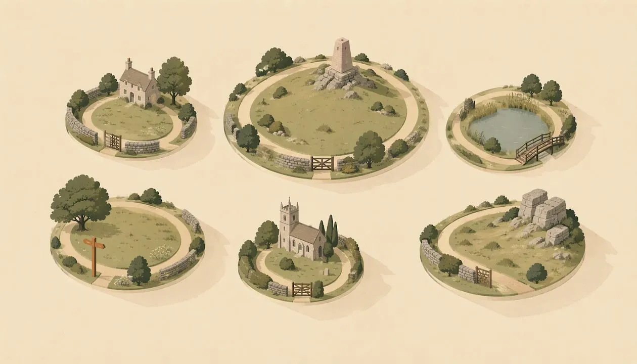
A good circular walk in the Cotswolds starts in a town or village, takes you out into the hills or along a river, and brings you back to where you parked, with no second car or bus needed. Below are six loops with their distances, timings, parking and the things you will pass. They range from very easy walks of a couple of miles to the hillier Broadway Tower and Belas Knap routes. Pick the one that fits your legs, your weather and your day.
TL;DR
- Easiest town loop: Stow-on-the-Wold, 3¾ miles, about 2 hours, no stiles, starting at the market cross.
- Best all-rounder: Chipping Campden and Dover’s Hill, 4½ miles, with an easy 3-mile option that avoids the climbs.
- Big views: Broadway and the Tower, 4 miles, moderate, with some steep sections and stiles.
- Best for history: Winchcombe and Belas Knap, 5¼ miles, climbing to a Neolithic long barrow.
- Allow extra time, wear proper footwear and expect mud: paths can be muddy or slippery from November to March.
Table of Contents
- How to choose the right loop
- Six circular walks at a glance
- Stow-on-the-Wold: the easiest loop
- Chipping Campden and Dover’s Hill: the best all-rounder
- Broadway and the Tower: the classic view
- Winchcombe and Belas Knap: the one for history
- Very easy walks near Bourton-on-the-Water
- Painswick Beacon: a short hilltop loop
- Choose the walk by the finish
- Before you set out
- Planning your day with the app
- Longer circuits if you want more
- Sources
How to choose the right loop
The Cotswolds sit on a limestone escarpment. That shapes every walk here: the west edge, facing the Severn Vale, is steep, while the dip slope to the east is gentler, with wide valleys, streams and villages tucked into folds in the land.
In practice, that gives you three kinds of circular walk:
- Gentler town and village walks, such as Stow-on-the-Wold or the very easy walks near Bourton-on-the-Water. Shorter, with fewer climbs, and close to pubs and tea rooms.
- Escarpment loops, such as Chipping Campden, Broadway, Winchcombe and Painswick Beacon. These use parts of the Cotswold Way and reward you with big views, but have steeper sections, and some have stiles.
- Multi-day circuits, which link villages over several days. They are a different commitment, so they get only a short note at the end.
All the routes below start and finish in the same place, so you can leave the car once.
Six circular walks at a glance
| Walk | Distance | Typical time | Difficulty | Start |
|---|---|---|---|---|
| Stow-on-the-Wold, Miles Without Stiles | 3¾ miles (5.5 km) | About 2 hours | No stiles; 130 m of ups and downs | Stow Cross, Market Square |
| Chipping Campden and Dover’s Hill | 4½ miles (3-mile short option) | 2½–3½ hours (short: 1½–2½) | Moderate (short: easy) | Market Hall, Chipping Campden |
| Broadway and the Tower | 4 miles (6.5 km) | 2½–3 hours without stops | Moderate | War memorial, Broadway |
| Winchcombe and Belas Knap | 5¼ miles (3½-mile short cut) | 3–4 hours (short: 2–3) | Moderate | Back Lane car park, Winchcombe |
| Great Rissington or Naunton (Very Easy Walks) | 2¾ miles or 3 miles | Not given | Very easy | The village church or the village pub |
| Painswick Beacon, Miles Without Stiles | 2 miles (3.25 km) | About 1½ hours | No stiles; 94 m of ups and downs | Parking area at the end of the road to the Beacon |
Every figure comes from the walk sheet published by the Cotswolds National Landscape or the Cotswold Way National Trail (linked in each section and under Sources). Check the sheet before you go, as routes and car park arrangements change.
Stow-on-the-Wold: the easiest loop
If you want a gentle introduction, start here. The Cotswolds National Landscape’s Stow-on-the-Wold Miles Without Stiles walk is 5.5 km (3¾ miles), takes about two hours, and starts and finishes at Stow Cross in the market square. It goes down to Maugersbury, past St Edward’s Well and Nether Swell Manor’s gate lodge to Hyde Mill, then back up through Nether Swell Manor Farm and past South Hill Farm. The walk sheet suggests parking at Tesco’s public car park or the Oddington Road car park.
There are no stiles, which makes it one of the friendlier options for families. It is not flat, though: the sheet gives 130 m of ups and downs, and the route twice crosses the busy A429, once on the way out, where the sheet says to cross “with extreme caution”, using the traffic island. Stow’s square, antique shops and old inns are all on your doorstep, so the walk slots neatly into a half-day visit. Our guide to things to do in Stow-on-the-Wold covers the square, pubs and market days, and you can browse what’s around Stow in the app.

Chipping Campden and Dover’s Hill: the best all-rounder
This is a good first walk if you want a proper view. The Cotswold Way National Trail’s Chipping Campden and Dover’s Hill walk sheet describes a 4½-mile (7.2 km) loop, moderate with some steep sections, taking 2½–3½ hours. A 3-mile (4.8 km) shorter option takes 1½–2½ hours, is rated easy and avoids the climbs. You choose at the kissing gate onto Dover’s Hill, where the short route turns left along the Cotswold Way straight to the viewpoint.
You start at the Cotswold Way marker stone beside the Market Hall in Chipping Campden, where the National Trail begins, and climb up Hoo Lane to Dover’s Hill, which the National Trust owns and describes as a natural amphitheatre with views over the Vale of Evesham. The full loop drops through Lynches Wood, which the sheet notes for its bluebells in May, with a boardwalk over a muddy stretch and a long flight of steps back up. The sheet lists cafés and pubs in the town, public toilets in Sheep Street, and free parking along the High Street, asking walkers to use the free parking in Back Ends. The Dover’s Hill car park is paid unless you are a National Trust member.
Why it works well:
- The shorter route avoids the climbs, so mixed-ability groups can still share a day out.
- You finish in a town with cafés and pubs, rather than in a lay-by.
- It is easy to combine with a browse of the town. See our half-day in Chipping Campden for ideas.
Broadway and the Tower: the classic view
Broadway Tower is a folly on the escarpment above the village. The Cotswold Way National Trail’s Broadway and the Tower walk sheet gives 4 miles (6.5 km) and 2½–3 hours without stops. It is rated moderate, with some steep sections and stiles.
The route starts at the war memorial at the bottom of the High Street, crosses fields to St Eadburgha’s Church on the Snowshill Road, then climbs Coneygree Lane and passes Rookery Farm to reach the tower. You come back down the Cotswold Way, about a mile of descent including a flight of steps, and return along the High Street. The sheet warns of muddy areas near the field gates after wet weather. It lists car parks off Cheltenham Road, behind the High Street and off Leamington Road. Our own write-up of the Broadway Tower walk goes through the loop in more detail.

Winchcombe and Belas Knap: the one for history
The route from Winchcombe climbs to Belas Knap, a Neolithic long barrow. The National Trail describes the walk as 5¼ miles, 3–4 hours, moderate with some steep sections and stiles. A short cut of 3½ miles takes 2–3 hours. The suggested parking is Back Lane car park, GL54 5PZ.
The barrow is the highlight. The same page describes its false entrance and side chambers, and notes that it was excavated in 1863 and 1865, when the remains of 31 people were found, and that it has since been restored. This is the walk to pick for a slower day with something to think about at the top.
Very easy walks near Bourton-on-the-Water
Bourton itself is busy, and a short walk in a quieter village nearby is a good way to escape the crowds. The Cotswolds National Landscape’s Very Easy Walks brochure (hosted by Bourton-on-the-Water Parish Council) sets out fifteen short routes across the Cotswolds, with distance, parking, path type, refreshments and accessibility symbols for each. Two are a few miles from Bourton:
- Great Rissington, 2¾ miles (4.5 km), from St John the Baptist’s Church, with water meadows and a stretch beside the River Windrush. The terrain is grass, stony tracks and fields that are sometimes ploughed, so the path is not always clear.
- Naunton, 3 miles (4.8 km), starting and finishing at the village pub, past the site of the deserted medieval village of Lower Harford and along part of the Windrush Way. Despite the brochure’s title, this one has a stile, a steep path and one climb and descent of about 35 m.
The brochure warns that some routes are not suitable for pushchairs or wheelchairs, and that paths can be muddy or slippery from November to March. For things to do in Bourton before or after, see what’s around Bourton.
Painswick Beacon: a short hilltop loop
Painswick Beacon is on the escarpment just north of Painswick. The Cotswolds National Landscape’s Painswick Beacon Miles Without Stiles walk is 3.25 km (2 miles), takes about 1½ hours and has 94 m of ups and downs. It starts from the small parking area at the end of the road up to the Beacon, follows a stretch of the Cotswold Way beside the golf course, reaches the ramparts of an Iron Age fort, and returns through Popes Wood Nature Reserve. The sheet suggests a short detour up to the trig pillar for views towards Gloucester and the Malvern Hills.
The route crosses the main road and a road over the golf course, so take care on both. The sheet was last checked in June 2020, so check it again before you go. For the village itself, see things to do in Painswick, and for walking with a dog, our guide to dog-friendly Cotswolds walks covers lead rules and livestock.
Choose the walk by the finish
The easiest walking days are the ones built around a place to stop. A loop that finishes at a pub or café, with a car you do not need to move, is simpler to plan than a linear route that needs a bus back.
So choose the walk by the finish, not the start. Decide where you want lunch, find the loop that ends there, and let the landscape do the rest. If you are unsure of your pace, take a route with a short option. Chipping Campden and Winchcombe both have one.
Longer-distance walkers can string loops together. Our six route-ready Cotswolds hikes include a stage plan if you want something bigger.
Before you set out
A few habits make every route easier.
- Footwear: Wear boots or sturdy shoes with grip. Paths are often muddy after rain, and the Very Easy Walks brochure warns of muddy or slippery paths from November to March.
- Time: Add time to the walk-sheet figure if you are with children, taking photographs or stopping for lunch. The Broadway timing, for example, is quoted without stops.
- Parking: Popular towns and villages get busy on summer weekends and bank holidays, so arrive early and check the car park’s payment options.
- Stiles and gates: Several routes include stiles. “Miles Without Stiles” means no stiles, not level or surfaced paths: the Stow loop has an unmade road, field paths, gates and steps. If you have a pushchair, a wheelchair or a less steady companion, check the accessibility symbols in the Very Easy Walks brochure first.
- Livestock: Leave gates as you find them. The Countryside Code says it is good practice to keep your dog on a lead around livestock (on open access land it is a legal requirement), but to let your dog off the lead if you feel threatened by livestock or horses, and not to risk getting hurt protecting it.
- Navigation: Download or print the walk sheet before leaving, and carry an Ordnance Survey map, as mobile signal can be patchy.
- Daylight: Autumn and winter days are short. Start early enough to finish well before dusk.
Planning your day with the app
The Cotswolds App can help you plan the stops around a walk. Use the interactive map to see walks, pubs and villages around your starting point, search the directory by category and distance, and check what’s near you when the weather changes your plans. Area guides such as Chipping Campden, Broadway and Winchcombe cover what is close to each start. Place pages show any sheep, accessibility and dog-friendly ratings visitors have left, though most places do not have reviews yet. It is free to use, you can install it on your phone, and if you sign in you can download the directory for offline use before you set out.
Longer circuits if you want more
If a day loop leaves you wanting more, there are multi-day routes that link towns and villages, and some operators arrange overnight stays and baggage transfers. For most visitors, though, two or three of the loops above, spread across a long weekend, give a good taste of the area at a relaxed pace.
A sensible long-weekend plan might look like this:
- Day one: Stow-on-the-Wold loop in the morning, then the town’s inns and shops.
- Day two: Chipping Campden and Dover’s Hill, with the shorter route if the weather turns.
- Day three: Broadway and the Tower, saving the big view for last.
Sources
- Stow-on-the-Wold Miles Without Stiles, Cotswolds National Landscape
- Chipping Campden and Dover’s Hill, Cotswold Way National Trail
- Broadway and the Tower, Cotswold Way National Trail
- Winchcombe and Belas Knap, Cotswold Way National Trail
- Very Easy Walks, Cotswolds National Landscape (hosted by Bourton-on-the-Water Parish Council)
- Painswick Beacon Miles Without Stiles, Cotswolds National Landscape
- Dover’s Hill, National Trust
- The Countryside Code, GOV.UK