Walking is one of the best ways to see the Cotswolds. This page lists the walks and trails in our directory, from short circular routes to long-distance paths such as the Cotswold Way, the Oxfordshire Way and the Macmillan Way.
Each walk shows its route on a map, with its distance and a difficulty grade (easy, moderate or hard) where we have one. The area guides linked below cover places with several walks close together.
Paths cross farmland, so keep to rights of way, close gates behind you and keep dogs under control near livestock. Conditions underfoot change with the weather; check the route and the forecast before you set out.
Area guides with the most walks:Sherborne, Kinnersley, Cumnor, Banbury, Brookthorpe
Further reading:Cotswolds Circular Walks: Six Loops for Every Pace · Easy Walks in the Cotswolds: Short, Gentle Routes for Every Pace · 6 Route Ready Cotswolds Hikes With a 102 Mile Stage Plan · Pub Walks in the Cotswolds: How to Plan a Good One · Five Dog-Friendly Cotswolds Walks: Routes, Lead Rules and Livestock · Broadway Tower Walk: The Circular Route from Broadway Village
Prefer to search, filter by distance or see them on a map? Open the directory or the map.
 Walk / Hike
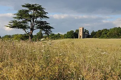
Accessible Walk in Croome's Pleasure Grounds, Croome
Kinnersley
This accessible walk takes you through an 18th-century parkland that was carefully designed by Lance...
 Walk / Hike
Adderbury Circular Walk
Adderbury
This circular walk around Adderbury gives you a genuine sense of the Cotswolds on a manageable route...
 Walk / Hike
Ancient History & Agriculture Walk (Formerly the Orange Walk)
Great Coxwell
Start your exploration near Great Coxwell, where you can trace the layers of time that have shaped t...
 Walk / Hike
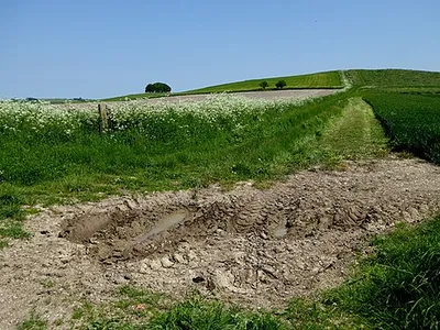
Avebury Ridgeway Walk
Avebury
Walking this route near Lockeridge takes you along a section of the ancient Ridgeway, one of Britain...
Walk / HikeBadbury Hill Fort, Badbury Clump
Great Coxwell
This Iron Age hill fort occupies a commanding ridge near Faringdon and offers one of the most access...

 Walk / Hike
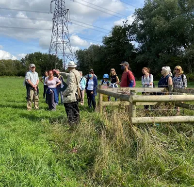
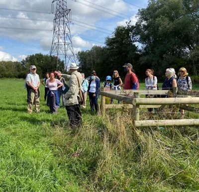
Botley Health Routes - Blue
Cumnor
This designated walking route circles the Botley area just west of Oxford, offering an accessible wa...
 Walk / Hike
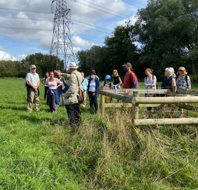
Botley Health Routes - Orange
Wytham
This walking route takes you through countryside just west of Oxford, within the eastern edge of the...
 Walk / Hike
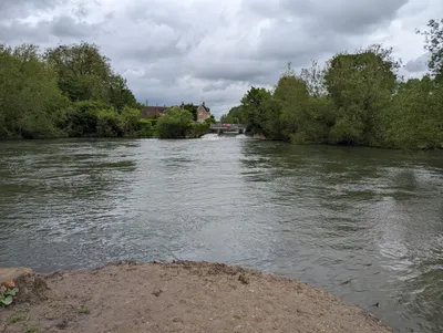
Botley Health Routes - Purple
Cumnor
This is a designated health route on the outskirts of Oxford, marked in purple and designed to give ...
 Walk / Hike
Buscot Weir Walk, Buscot
Buscot
This riverside walk follows the Thames through one of the Cotswolds' most scenic stretches, starting...
 Walk / Hike
Cheltenham Circular Footpath
Cheltenham
This walking route takes you on a complete loop around Cheltenham, the elegant Regency spa town that...
 Walk / Hike
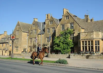
Conservation Walk, Croome
Kinnersley
The Conservation Walk at Croome takes you through one of the region's most significant estates, now ...
 Walk / Hike
Cotswold Way
Frampton Mansell
This section of the Cotswold Way gives you a genuine sense of what makes the region special. You'll ...
Cotswold Way (Selsley Common route)
Selsley
This section of the Cotswold Way across Selsley Common delivers exactly what you're after if you wan...
Cropredy Village Trail
Cropredy
A self-guided walking trail through Cropredy takes you at your own pace through a village shaped by ...
 Walk / Hike
Cross Cotswold Pathway
Swalcliffe
The Cross Cotswold Pathway near Whichford is a straightforward walking route through some of the qui...
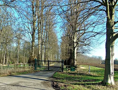 Walk / Hike
D'Arcy Dalton Way
Ascott-under-Wychwood
The D'Arcy Dalton Way is a long-distance walking route through the Cotswolds, though most visitors t...
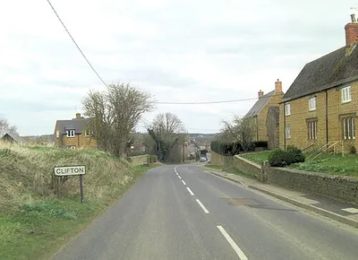 Walk / Hike
Deddington Circular Walk - East
Deddington
This circular route around Deddington and North Aston takes you through genuine Oxfordshire countrys...