📷 Image found via ldwa.org.uk · verify licensing
This walking route takes you on a complete loop around Cheltenham, the elegant Regency spa town that sits at the edge of the Cotswolds in Gloucestershire.
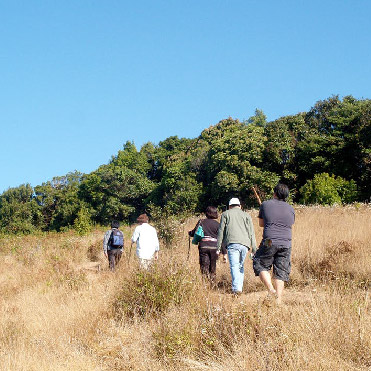
The path gives you a chance to experience the town from its outer reaches, where you can see how the carefully planned Georgian and Victorian architecture gradually gives way to the surrounding countryside. It's a good way to understand the scale and layout of Cheltenham itself, and you'll pass through different neighbourhoods and green spaces as you make your way around. The walk works well if you want to escape the busier town centre but still stay connected to Cheltenham's character. Local residents use it regularly, which tells you it's a practical route that actually goes somewhere worthwhile rather than just looping for the sake of it. The terrain is mostly accessible, though like any circular walk around a town this size, you'll encounter a mix of pavements, park paths, and some road sections. It's worth timing your walk to include a stop at one of the cafes or pubs you'll pass along the way, particularly if the weather turns. For more ambitious walking, this route connects you to the broader network of paths that extend into the surrounding Cotswolds hills, so you could use it as a starting point for longer explorations. Cheltenham itself has good transport links and plenty of places to stay if you're basing yourself here for a few days.
Visitor reviews
Every review has a sheep rating. If you have dogs on your account, you can add an optional dog-friendly paw rating when you post.