
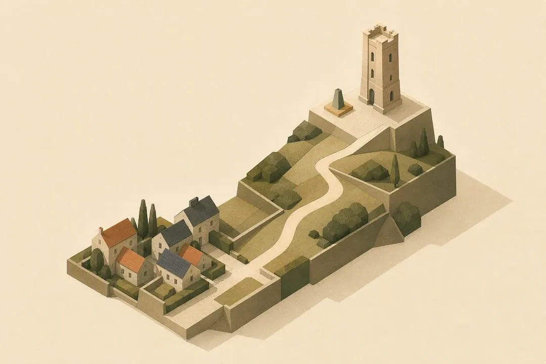
The Broadway Tower walk from Broadway village is a circular route of roughly 4 to 4.4 miles (6.5–7 km), taking most walkers 2 to 3.5 hours excluding time at the Tower itself. You’ll climb steadily out of the village, cross open fields to the 312-metre summit, then loop back down through woodland on the Cotswold Way. Expect a moderate walk with a few genuinely steep pulls, well within reach of fit families and casual walkers.
TL;DR:
- The walk covers about 4 miles and involves a 770-foot elevation gain, with the steepest parts coming just after leaving Broadway village.
- Weather conditions, especially wind and rain, can significantly affect safety, requiring appropriate gear and careful timing.
- The route is not suitable for prams due to steep sections and gates, but sturdy walking boots improve footing on uneven and muddy ground.
- Parking fills quickly on sunny weekends, so arriving early is recommended, and public transport options are available from nearby towns.
- Visiting the Tower and estate attractions requires an entrance fee, but the surrounding public footpaths along the Cotswold Way are free to explore.
Table of Contents
- Route snapshot: distance, maps and variants
- Walking to Broadway Tower step by step
- Getting there, parking and where to refuel
- How hard is it, and is it suitable for prams?
- What you’ll find at Broadway Tower Country Park
- Staying safe on the escarpment
- Planning your walk with The Cotswolds App
- Timing and crowds
- Plan your route with The Cotswolds App
- Sources
Route snapshot: distance, maps and variants
The classic loop climbs from Broadway village to Broadway Tower and back, with National Trails putting the distance at around 4 miles (6.5 km) and the walking time at 2.5 to 3 hours, not counting a stop at the top. AllTrails users report a slightly longer figure of about 8.0 km with an average time near 2 hours 23 minutes, which reflects how differently people measure the same paths depending on the exact start point they choose.
Broadway Tower itself stands at 312 metres above sea level, and you’ll climb roughly 770 feet of elevation gain over the round trip. That’s the highest point on this stretch of the Cotswold escarpment, which explains the views.
A few practical points worth noting before you set off:
- Carry OS Explorer OL45 (Cotswolds) if you want a paper backup to any phone app.
- There’s a shorter estate loop around Broadway Tower Country Park itself, separate from the full village-to-tower circuit.
- Save a what3words or grid reference for the Tower car park or the war memorial in Broadway. Signal gets patchy up on the escarpment, and a saved reference beats hunting for a postcode.
- Add some extra time if you want to climb the Tower or visit the museum inside.
Walking to Broadway Tower step by step
Most people start at the war memorial on Broadway High Street, where several small car parks make it easy to leave a vehicle and walk straight into the route.
- Leave the High Street and head towards the activity park. Follow the path past the play area and into the first stretch of open fields. Keep the escarpment ahead of you as your rough bearing.
- Cross the fields towards Rookery Farm. This section climbs gradually, and you’ll pass through a series of kissing gates rather than stiles, a recent improvement that makes the route friendlier for most walkers.
- Continue uphill to the Broadway Tower Country Park entrance. You’ll know you’re close when the dry stone walls tighten around the path and the Tower itself appears above the tree line. Morris & Brown Café sits right by the estate entrance if you fancy a break before the final push.
- Reach the Tower. This is the highest point of the walk and the natural place to pause, refuel, and decide whether to go inside.
- Descend via the Cotswold Way. From the Tower, follow the Cotswold Way signage down a flight of stone steps and through a gate that leads into woodland.
- Follow the dry-stone wall line down through the trees. The path stays close to a stream for part of this stretch, and the ground can be slippery after rain.
- Pass through the final gates back into Broadway. The path rejoins the village near the same area you set off from, completing the loop.
This first stage, village to Tower, covers roughly half the total distance and takes 1 to 1.5 hours at a steady pace. The return via the Cotswold Way is generally quicker since it’s mostly downhill, closer to 45 minutes to an hour. Throughout, the simplest navigation tip is to follow the Cotswold Way’s acorn waymarkers and look for gates and walls rather than trying to memorise field boundaries.
Getting there, parking and where to refuel
Broadway itself has three car parks in and around the High Street, all a short walk from the war memorial start point, plus a dedicated car park at the Broadway Tower estate if you’d rather start from the top and walk down first. Both fill up on sunny weekends, so arriving before mid morning helps.
If you’d rather not drive, buses serve Broadway from Cheltenham, Chipping Campden, Stratford-upon-Avon and Evesham. Timetables change with the seasons, so it’s worth checking Traveline for current times before you travel.
For food and drink:
- Broadway High Street has several cafés and pubs, ideal for breakfast before you start or a proper meal once you’re back.
- On the estate, Morris & Brown Café sits right by the Tower Barn, handy for a hot drink at the highest point of the walk.
Ticket prices for the grounds and Tower change from time to time, so confirm current rates on the official Broadway Tower site before you visit.
How hard is it, and is it suitable for prams?
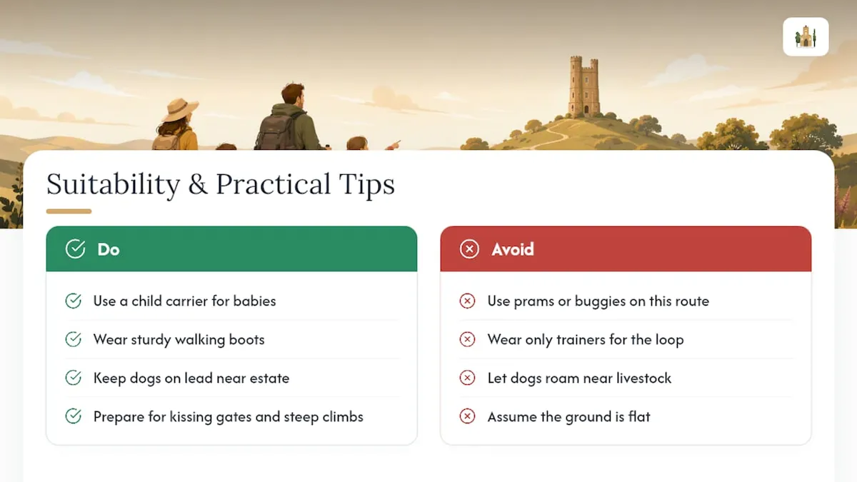
“Moderate” here means a genuine, sustained climb rather than a flat stroll. Expect steep sections as you leave Broadway village, uneven ground underfoot, and a handful of kissing gates that require you to lift a small child or dog through.
Prams and buggies aren’t a good match for this route. The combination of steep ground and kissing gates makes it awkward even with an all-terrain design, and most families with very young children opt for a carrier instead. Dogs are welcome but should stay on leads near the Tower estate, where livestock and the resident deer herd graze close to the paths, especially during spring lambing season.
The Cotswold Way Association has removed stiles from many of its main circular routes in recent years, which has genuinely improved access for less mobile walkers. Even so, the ground stays uneven in places, so sturdy walking boots rather than trainers make a real difference on this particular loop.
What you’ll find at Broadway Tower Country Park
Broadway Tower Country Park is more than a viewpoint. Inside the Tower, a small museum tells the building’s history, and a rooftop platform gives you one of the widest panoramas in the Cotswolds on a clear day. The estate also has a nuclear bunker with limited opening hours, a resident herd of red deer, and the Morris & Brown café and gift shop.
Check the official site for current pricing. Budget 30 to 60 minutes if you want to see the museum and climb to the roof.
Staying safe on the escarpment
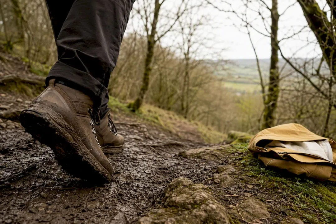
Check the Met Office forecast for Broadway before setting off, since the exposed top of the escarpment catches wind that Broadway village never feels. Expect muddy patches after rain, particularly on the wooded descent. Wear walking boots, pack waterproofs and water, keep your phone charged, and plan your start time around the light available that day.
Planning your walk with The Cotswolds App
Open The Cotswolds App’s map to find the Broadway route and filter nearby spots for dog-friendly cafés or public toilets before you leave home. Save a waypoint or download the offline map for stretches where signal drops near the Tower.
Pro Tip: Save a what3words or OS grid reference for the Tower car park or the war memorial before you set off. It’s far quicker than describing a postcode if you need to guide someone to meet you.
Timing and crowds
Broadway Tower gets busy by late morning in summer, with most families clustering near the café and the Tower entrance. Start early if you can, and save the High Street for afterwards. The escarpment edge just past the Tower gives the best photographs, with far fewer people in the frame.
Plan your route with The Cotswolds App
There are practical digital guides that combine maps, bus timetables and café reviews for you. Such tools often offer interactive maps covering thousands of places across the region, letting you filter by category for the pubs, cafés and toilets near the Broadway route quickly rather than scrolling through search results.
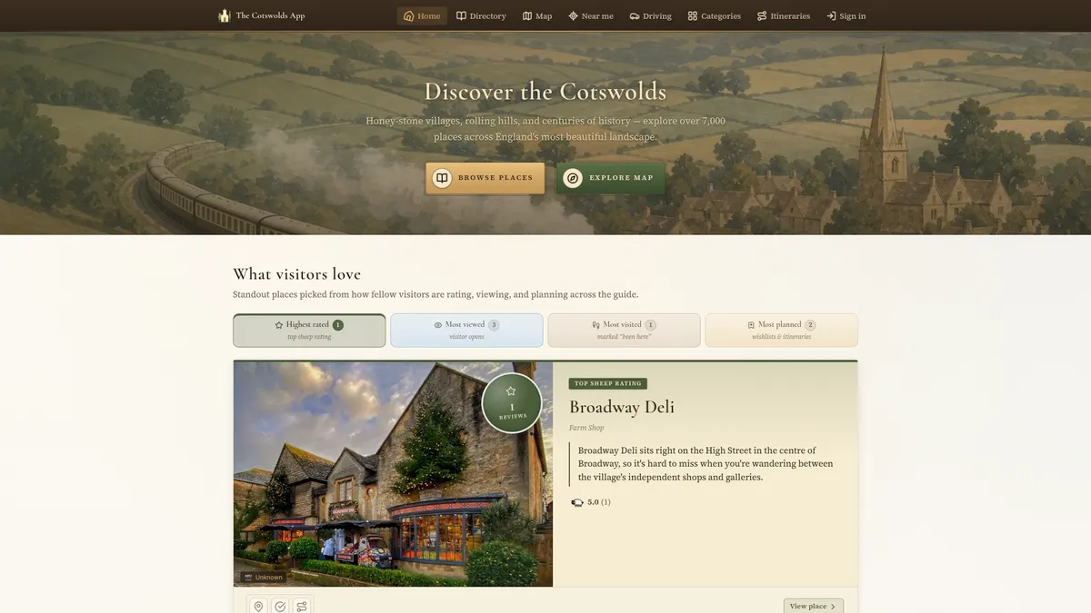
Open the map, search for Broadway, and you’ll see the Tower walk alongside nearby pubs, parking, and attractions worth combining with your visit. The offline map function means you’re not relying on patchy signal up on the escarpment to find your way back down. Install The Cotswolds App today and pull up the Broadway route before your next weekend outdoors.
Sources
- Broadway and the Tower (4 miles) - National Trails
- Broadway Tower — Morris & Brown café and shop
- Traveline — public transport journey planner (UK)