
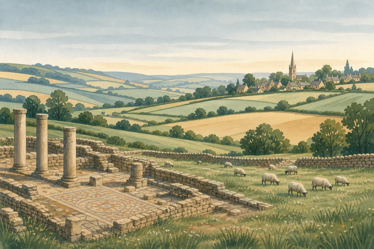
Illustration — photo coming soon
The hill north of Painswick, crowned by an Iron Age hillfort that is a scheduled monument, recorded by Historic England as Painswick Hill (or Kimsbury) Camp and also known as Painswick Hill Camp, Kimsbury Hillfort and Castle Godwyn.
On the west and south sides the fort is defined by three banks with two ditches between them; to the north a natural scarp is topped by a single bank. There is an inturned entrance on the south-east, and the enclosure covers about 8.8 hectares. Chance finds from the interior include Iron Age and Romano-British pottery, and the hill is believed to have been used as an outpost by Charles I's army during the siege of Gloucester in 1643.
The hill is registered common land and open access land, so you can walk freely across it on foot. A golf course crosses the hill and the fort, and parts of the hillfort were quarried in the past and landscaped for the course. Paths, including the Cotswold Way, cross the fairways: take care and watch for play.
The Cotswolds National Landscape publishes a two-mile stile-free walk around the Beacon. It starts from the small parking area at the end of the road up from the Royal William pub, passes the ramparts and the trig pillar, with views to Gloucester, the Malvern Hills and down into the Stroud valleys, and returns through Popes Wood.
Visitor reviews
Every review has a sheep rating. If you have dogs on your account, you can add an optional dog-friendly paw rating when you post.