

The easiest way to explore Cotswold villages is to pick a small cluster that sit close together, park once, and walk or make short drives between them. Many of the best-known villages are only a mile or two apart, so a well-planned day can take in three or four without feeling rushed. Open an interactive map such as The Cotswolds App's to see what is near each stop, and carry an Ordnance Survey map if you are walking between villages.
TL;DR:
- Plan by cluster, not by region: the Slaughters and Bourton-on-the-Water, or the Coln valley around Bibury, each fill a morning or afternoon.
- Use an Ordnance Survey Explorer map for footpaths and an interactive map for places to eat and stop.
- Walk the short legs (Upper to Lower Slaughter is under a mile) and drive the longer ones. Do not try to walk the main roads between towns.
- Arrive before 9am or after 4pm on summer weekends to miss the busiest hours at the best-known villages.
- Villages are free to wander, but some attractions in them charge for entry.
Table of Contents
- Which types of Cotswolds villages map should you use?
- How do you turn a map into a village-hopping itinerary?
- Which village clusters work best for a day out?
- What should you know before you set off?
- How does The Cotswolds App help with map-led planning?
- Timing and pace
- Try the map before you leave home
- Maps and guides worth checking before you go
- Sources
Which types of Cotswolds villages map should you use?
No single map does everything, so it is worth carrying two kinds for the day ahead.
An interactive map is the most flexible for decisions on the day. It shows places to eat, drink and visit, so you can find a pub or a viewpoint without leaving the village you are in.
Ordnance Survey Explorer maps remain the standard for anyone walking between villages rather than driving. They mark public footpaths and bridleways, which matters when a farm track looks like a short cut but is private land.
A downloaded or printed copy earns its keep in the valleys around Bibury and the Slaughters, where mobile signal can drop without warning. Download maps before you leave your accommodation, not when you need them.
Satellite view helps with finding car parks and getting your bearings before you arrive, which is particularly useful in villages like Castle Combe where the approach roads are narrow. The Cotswolds App's map has a satellite toggle for exactly this.
- Interactive map: best for finding places to eat and stop on the day
- Ordnance Survey Explorer: best for walkers who need to know where the footpaths run
- Downloaded or printed map: best as a backup where there is no signal
- Satellite view: best for checking parking before you arrive
How do you turn a map into a village-hopping itinerary?
Building a good day from a map is less about the map than about reading distance and time honestly. This method works whether you have four hours or a full day.
- Pick a base. Stow-on-the-Wold and Bourton-on-the-Water sit centrally. If you are coming by train, Moreton-in-Marsh has a station, and the hourly Pulhams 801 bus runs from it to Stow and Bourton.
- Measure the legs. Upper and Lower Slaughter are under a mile apart; Bourton-on-the-Water to Stow-on-the-Wold is about four miles by road.
- Decide walking or driving for each leg. Up to a couple of miles on a footpath is a pleasant walk. Longer legs, and anything that would mean walking along a main road such as the A429, are for the car or the bus.
- Estimate time per stop realistically. Allow an hour or two in a larger village and about the same for a gentle riverside walk.
- Build in a fallback. Pick an alternative village or a shorter way back in case a car park is full or the weather turns.
Pro Tip: Plan the route the night before and save the map offline, even if you are using an app. You will not be stuck if you lose signal in a dip between villages.
Which village clusters work best for a day out?
Grouping villages that sit close together, rather than trying to cover the whole region, is what makes a village day feel unhurried.
The Slaughters and Bourton (a morning or afternoon on foot). Upper Slaughter to Lower Slaughter is about a mile along the Warden's Way beside the River Eye. From Lower Slaughter to Bourton-on-the-Water is another 25 to 30 minutes across meadow paths. Park once in Bourton and walk it as an out-and-back. The paths are muddy after rain.
The Coln valley around Bibury (a slower half day). Bibury, Ablington a mile upstream, and Coln St Aldwyns about two miles downstream all sit on the River Coln, and footpaths follow the valley between them. Barnsley is a short drive west of Bibury if you want to add a fourth, but it is off the river and not a walking leg.
A full day by car. Stow-on-the-Wold, then Bourton-on-the-Water about four miles south-west, Northleach about six miles on by road, and Burford to finish, about nine miles east. The legs are too far to walk and partly on main roads, so drive them, and make a proper stop at each.
Painswick and the Stroud valleys (a half day). Painswick, with its churchyard of clipped yews, pairs well with a walk up to Painswick Beacon for the view over the Severn vale.
For each cluster, park once near the start and walk the short legs, rather than moving the car between every village.
What should you know before you set off?
A map tells you where to go, but not always how to arrive well. A few habits make the difference between a relaxed day and a frustrating one.
Use the car parks on the edge of historic villages such as Castle Combe, rather than driving into their narrow centres. Parking in Bibury is tight and is being brought under a county traffic management plan, so check the current arrangements before you go.
The busiest hours at the best-known villages tend to be roughly 9am to 4pm on sunny summer weekends, when coach parties arrive. Arriving earlier, or staying into the late afternoon, usually means quieter lanes and softer light for photographs.
The villages themselves are free to wander, but some attractions in them charge. Bibury Trout Farm, for example, lists adult admission at £9.50 in 2026, so it is worth budgeting for anything you plan to go into.
- Use car parks on the edge of villages, not the streets in the centre
- Visit before 9am or after 4pm on busy weekends
- Check entry prices for any attraction you plan to visit
- Download maps before you set off, in case there is no signal
How does The Cotswolds App help with map-led planning?
A paper map shows you the lanes; it does not tell you what is at the end of them. The Cotswolds App's interactive map lets you browse by category, such as pubs, cafés, walks or viewpoints, and search for a village by name, so you can see what is near your next stop.
Each place page carries its address, opening hours where we hold them, and visitor ratings where people have left them. For a cluster like the Coln valley, that means checking what is around each village before you leave your base.
Timing and pace
Early morning and late afternoon reward you twice over: softer light and emptier lanes. Carry an Ordnance Survey map for the footpaths and an interactive map for where to eat. Most visitors enjoy the day more by seeing two villages properly than by racing through five.
Try the map before you leave home
The Cotswolds App saves you piecing a trip together from separate maps, guidebooks and searches. It puts thousands of places on one map, with visitor ratings.
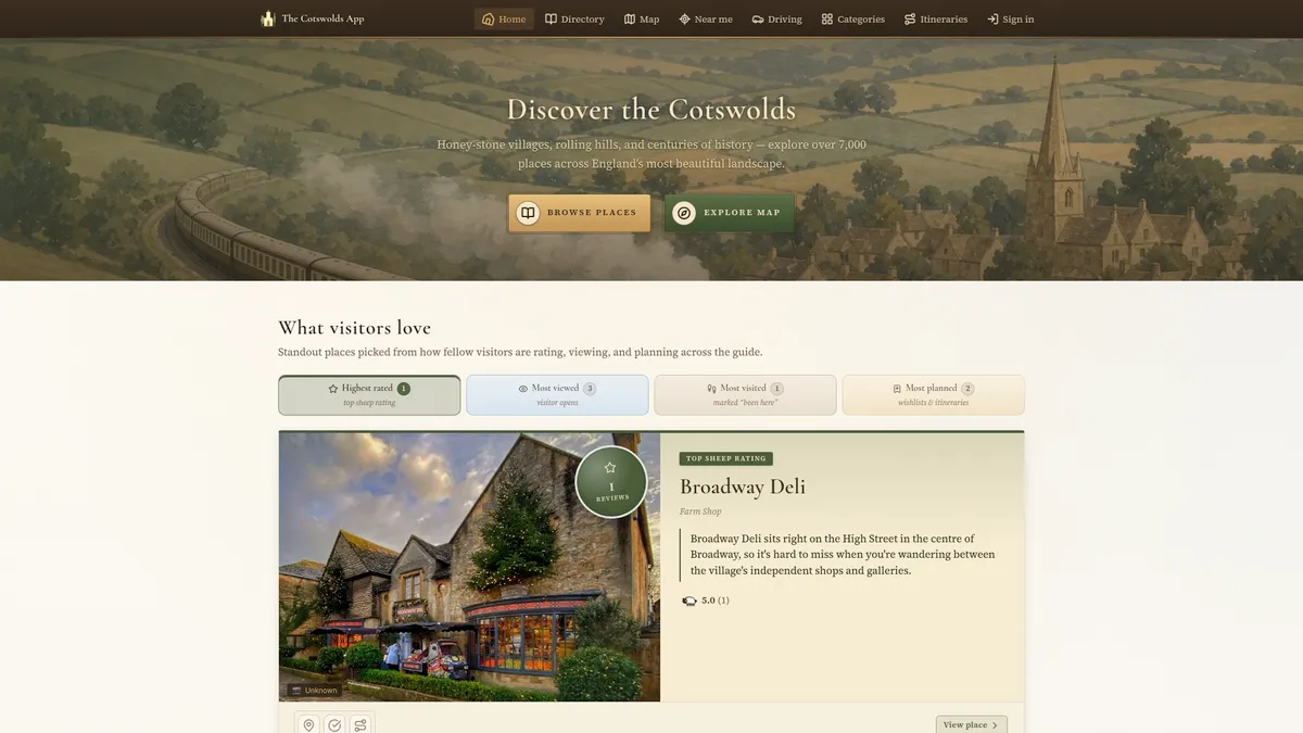
Open the interactive map and browse the pubs, walks and viewpoints around your chosen villages. Save the stops you want into an itinerary, and download the area so it keeps working without signal. If you would rather browse village by village first, start with the area guides, and install the free app so your plan is on your phone before you set off.
Maps and guides worth checking before you go
- OS Explorer OL45, The Cotswolds, which covers Burford, Chipping Campden, Cirencester and Stow-on-the-Wold, for footpaths and rights of way
- The Pulhams 801 timetable, if you are linking Moreton-in-Marsh, Stow and Bourton by bus
- Our Bourton-on-the-Water area guide, which covers the Slaughters walk