Illustration — photo coming soon
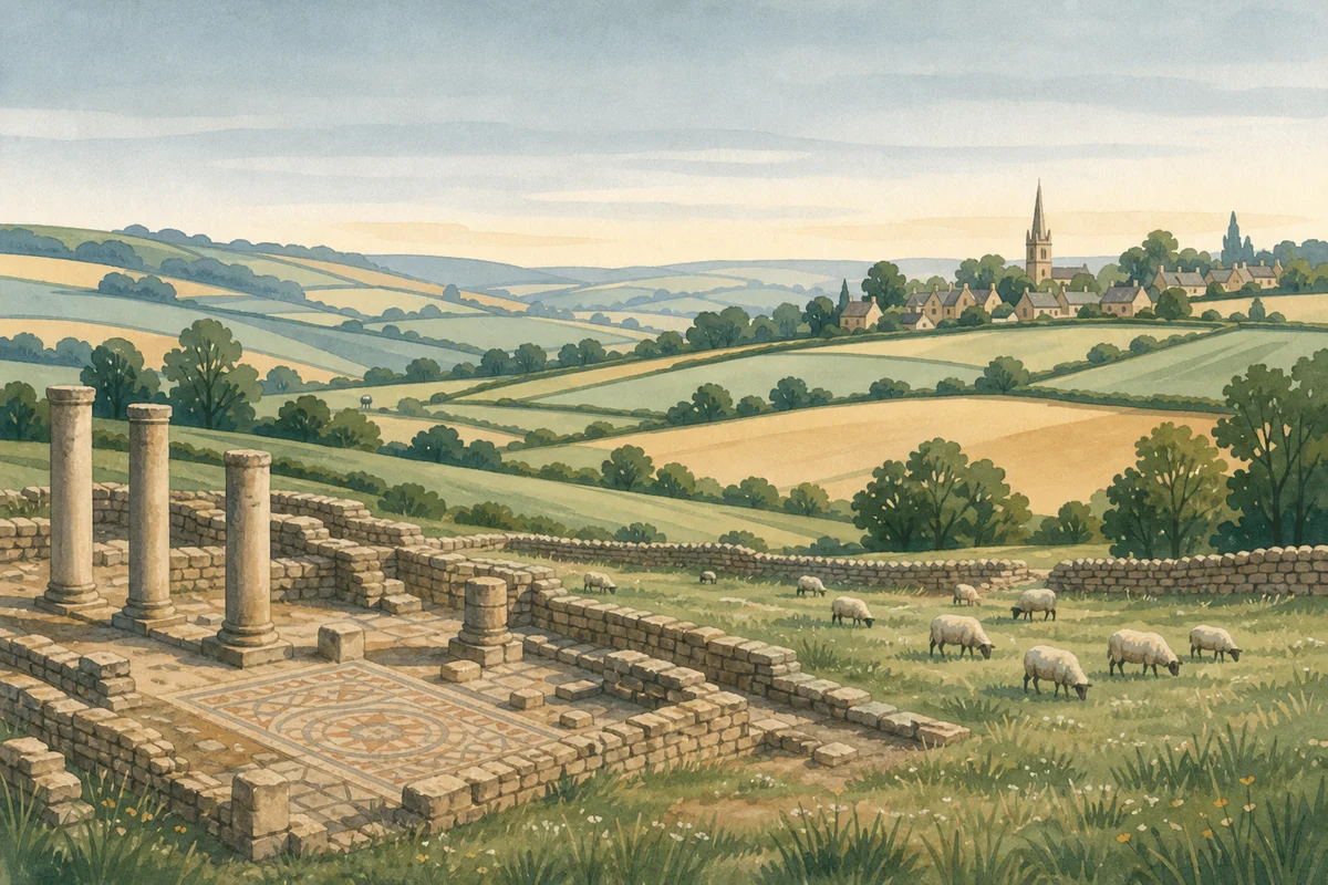
Walking a section of the Ermin Way near Brimpsfield takes you along a Roman road that connected Gloucester with Cirencester nearly two thousand years ago.
What started as Glevum and Corinium Dobunnorum in Roman times are the towns you'd recognize today, and this route once carried legions, merchants, and administrators across the landscape as a vital artery of the empire.
You won't encounter dramatic ruins here, but the road itself tells the story. The raised track is often still visible as you walk, creating a genuine connection to the past rather than something reconstructed for tourists. What makes it special is how straightforward the Romans engineered their infrastructure, building this line directly across the countryside to serve their needs.
The walk feels remarkably peaceful, which actually helps you picture the constant activity that would have filled this road during Roman occupation. Following the same route for nearly two millennia gives you a tangible sense of history underfoot. It's rewarding if you want a historical walk that feels authentically linked to what came before rather than staged.
The walk starts easily from Brimpsfield and combines well with exploring the broader area. Cirencester is just a short drive away if you want to deepen your Roman exploration at the museums there, and Cheltenham is nearby for shops and cafes when you need them.
Visitor reviews
Every review has a sheep rating. If you have dogs on your account, you can add an optional dog-friendly paw rating when you post.