
📷 Image found via swindontravelchoices.co.uk · verify licensing
Tadpole Round is a cycling destination within the Tadpole Garden Village development, situated just outside Blunsdon St Andrew near Swindon.
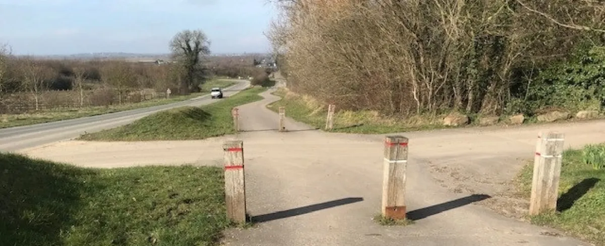
Rather than seeking out ancient stone villages or steep hillside routes, you'll find a network of well-maintained cycle paths designed specifically for riding. These routes wind through the modern residential areas and green spaces that make up the newer development, making it an excellent choice if you're cycling with children or simply prefer a relaxed pace without strenuous climbs or busy roads.
The area takes a contemporary approach to community planning, with active travel built into its design from the start. The designated paths offer a safe environment for younger cyclists to build confidence, and you can either stick to the local routes for a gentle outing or connect onwards to other cycling options in the region. There's no deep history here like you'd find in older Cotswolds villages, but that's rather the point—this is modern infrastructure done thoughtfully.
Swindon is just a short distance away whenever you need shops, cafes, or other amenities, and you can also explore the older parts of Blunsdon St Andrew village if you fancy a contrast. It's a practical option for anyone staying around Swindon who wants to get on a bike without tackling the more challenging terrain deeper into the Cotswolds.
Visitor reviews
Every review has a sheep rating. If you have dogs on your account, you can add an optional dog-friendly paw rating when you post.