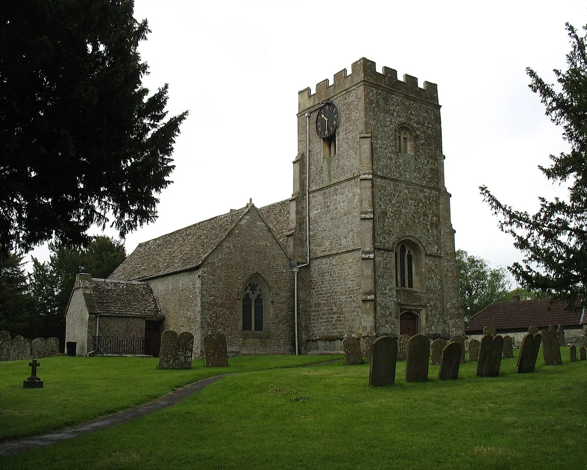
📷 Photo by David Purchase · CC BY-SA 2.0 · Wikimedia Commons
As you explore the eastern edge of the Cotswolds, this quiet village offers a welcome break.
It's an ideal spot if you're looking for a taste of traditional village life with some interesting history to discover.
At its heart, you'll find St Andrew's Church, a building with roots stretching back to the medieval period, worth a quiet look inside. But the real standout is Liddington Hill, rising directly above the village. It’s home to a significant Iron Age hillfort, offering fascinating insights into ancient inhabitants. A walk up to the summit rewards you with expansive views across the surrounding countryside and is a wonderful way to experience the area's natural beauty. Some even connect this location to the legendary Battle of Badon. After your explorations, the local pub, The Marquis of Lorne, provides a friendly place to relax and enjoy a drink or a meal.
The village is conveniently close to Medbourne, Badbury, and Wanborough, making it an easy stop if you're travelling through the Swindon area. You'll also find Badbury Wick, Foxhill, and Chiseldon nearby, offering further exploration of this lovely part of the Cotswolds.
Visitor reviews
Every review has a sheep rating. If you have dogs on your account, you can add an optional dog-friendly paw rating when you post.
Photos
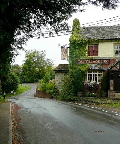
J. Billinger · CC BY-SA 2.0 · Wikimedia Commons