Illustration — photo coming soon
You'll find this stretch of the Fosse Way genuinely rewarding if you're interested in Britain's Roman past.
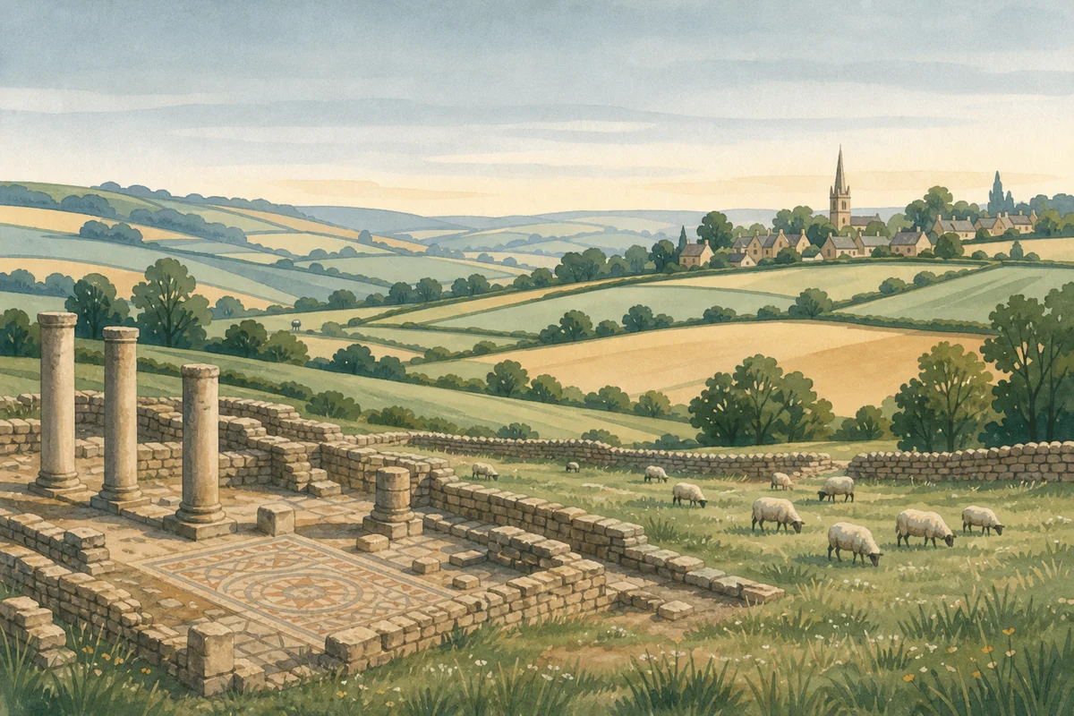
One of the most important roads built in ancient Britain, the Fosse Way ran in a remarkably straight line from Exeter to Lincoln, connecting various Roman settlements and military bases. This section near Foxley gives you the chance to walk or drive along a route that's been in use for nearly two thousand years.
What's striking is how much of the original path remains visible today, often forming the backbone of our modern roads, including sections of the A429 nearby. As you explore, you really get a sense of Roman engineering skill and the scale of their vision. Picture legions marching here, traders passing through, and messages being sent along this very path.
This is more about experiencing the journey and the historical weight than examining specific ruins. You can find sections where the original Roman agger, the embankment, is still visible, especially when walking, which lets you trace the exact line the Romans took. It's an excellent place for a walk where you can reflect on the layers of history beneath your feet.
Practically speaking, this part of the Fosse Way sits south of Malmesbury, a historic market town known for its abbey. Further south lies Cirencester, once Corinium Dobunnorum, the second-largest town in Roman Britain, which makes the Fosse Way's significance even more tangible.
Visitor reviews
Every review has a sheep rating. If you have dogs on your account, you can add an optional dog-friendly paw rating when you post.