
📷 Photo by Michael Ford · CC BY-SA 2.0 · Wikimedia Commons
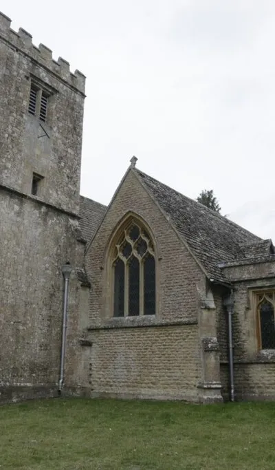
East Lockinge sits within the Vale of the White Horse, an area of Oxfordshire shaped by considerable history and natural features.
The vale takes its name from the Uffington White Horse, a prehistoric chalk figure carved into the hillside that remains a striking focal point for visitors. Located where four counties meet, the village sits at the intersection of the North Wessex Downs and open countryside, making it an excellent base for walkers tackling the Ridgeway National Trail. The River Thames forms a natural boundary to the north, while rolling hills and traditional villages throughout the area embody the character people associate with the Cotswolds. The landscape here rewards exploration whether you're interested in uncovering cultural heritage or simply spending time in peaceful rural surroundings. For those wanting access to larger facilities and amenities, the towns of Wantage and Uffington are nearby. The position between four counties, combined with the accessible trails and historical depth of the area, makes this part of Oxfordshire particularly appealing to those seeking both activity and quieter moments in the English countryside.
Visitor reviews
Every review has a sheep rating. If you have dogs on your account, you can add an optional dog-friendly paw rating when you post.
Photos
B. Nicholls · CC BY-SA 2.0 · Wikimedia Commons

A. Mathewson · CC BY-SA 2.0 · Wikimedia Commons