📷 Image found via swindontravelchoices.co.uk · verify licensing
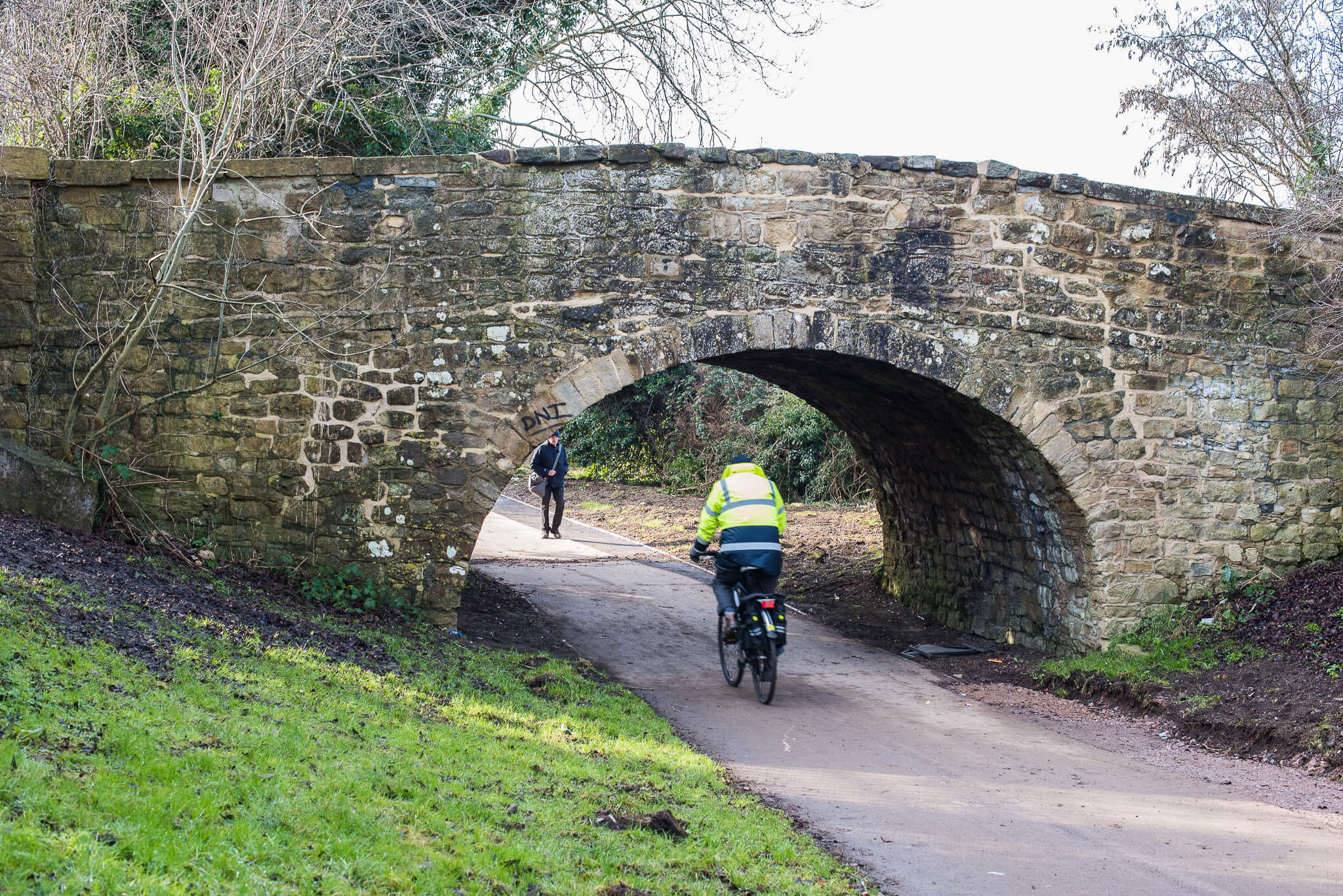
Eastern Flyer serves as an excellent launching point for cycling expeditions on the eastern edge of the Cotswolds, just near Stratton St Margaret.
This is where the landscape shifts from the busier surroundings of Swindon into the rolling countryside the region is known for, with open fields and gentle hills that make for rewarding cycling. The area itself offers straightforward riding with good opportunities to appreciate the local views and fresh air.
Stratton St Margaret, the nearby community, carries considerable history spanning several centuries, visible in its church and period architecture. From Eastern Flyer, you can plan routes that venture deeper into the Cotswolds proper, discovering villages constructed from the characteristic honey-coloured stone or following quieter country lanes that wind through the landscape. The location works particularly well as a base because Swindon, a substantial town, sits very close by and provides practical support before or after your rides—you'll find cafes, bike shops, and other amenities there without difficulty.
What makes this spot valuable is its accessibility as a gateway into the countryside. Rather than driving further into the Cotswolds to begin exploring, you can start your cycling adventures from this eastern entry point and work your way into the heart of the region at your own pace. It's an unpretentious place that gets you onto the routes you actually want to ride.
Visitor reviews
Every review has a sheep rating. If you have dogs on your account, you can add an optional dog-friendly paw rating when you post.